GNSS-R Instrument For UAV (Satellite Remote Sensing Transceiver For UAV) SolidWorks
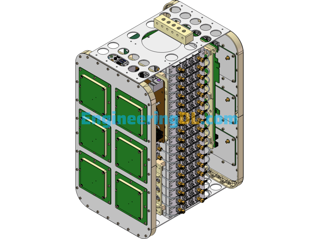
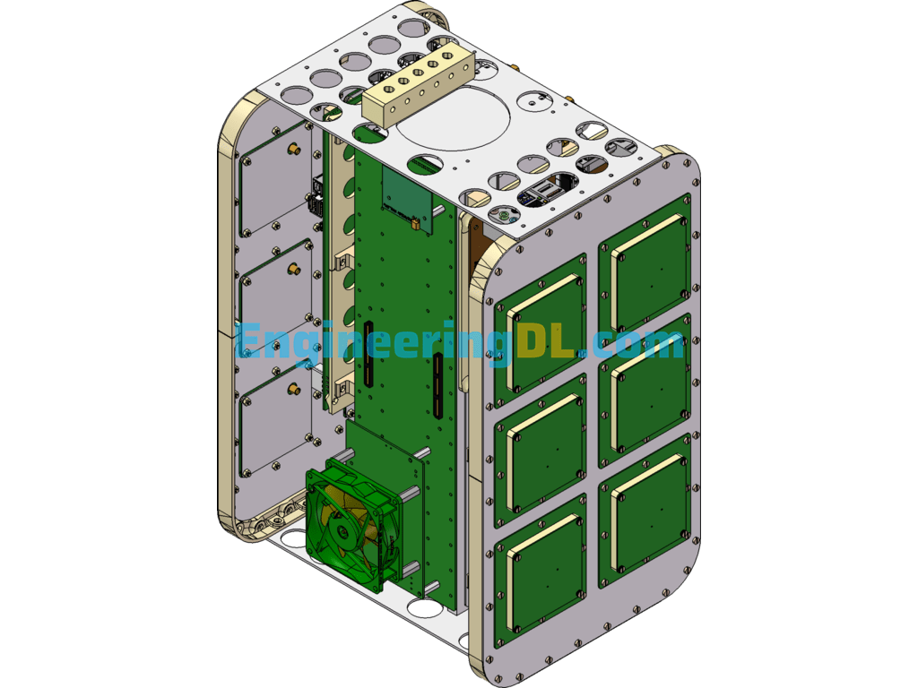
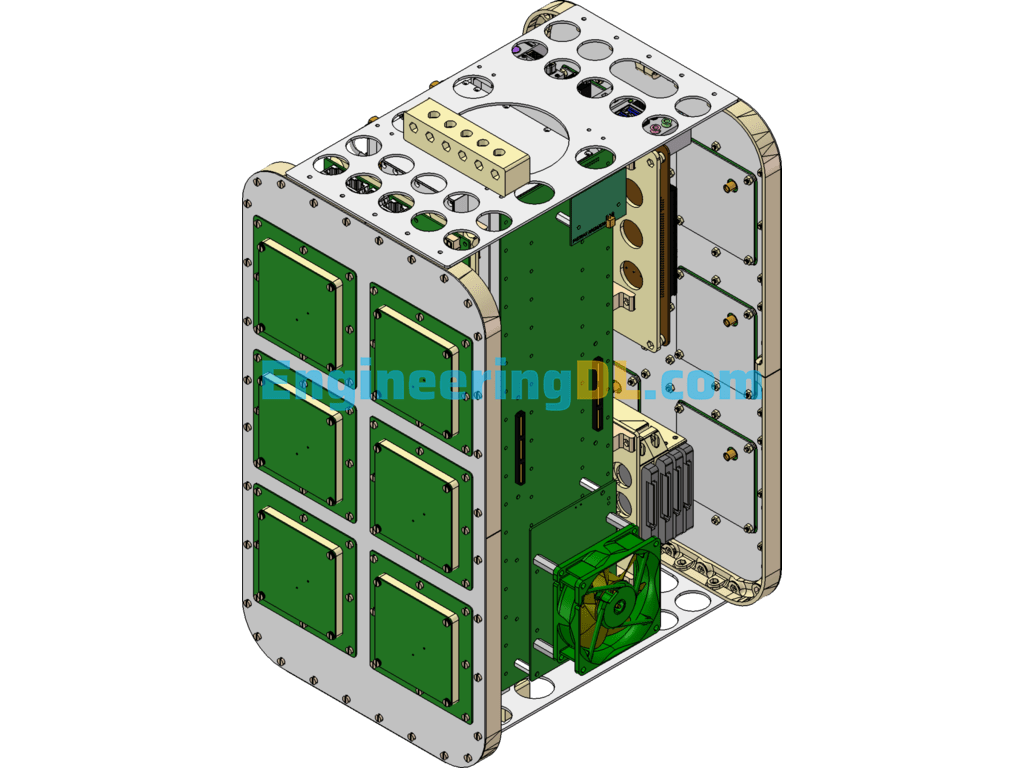
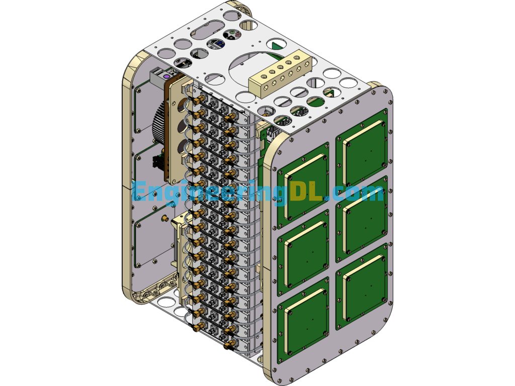

SPIR UAV GNSS-R instrument (satellite remote sensing transceiver for UAV) 3D model to share, the model is SW design source file sharing, welcome to download!
GNSS-R is a new remote sensing means with low cost, low power consumption and relatively high spatial and temporal resolution using the reflected signals from navigation satellites for remote sensing of the sea or land surface. Mechanistically speaking GNSS-R is a two-station radar, based on the microwave electromagnetic scattering model, the scattering characteristics of bare soil and vegetation are simulated theoretically for right circular polarization emission, right circular polarization (RHCP), left circular polarization (LHCP), H-polarization and V-polarization reception.
User Reviews
Be the first to review “GNSS-R Instrument For UAV (Satellite Remote Sensing Transceiver For UAV) SolidWorks”
You must be logged in to post a review.


There are no reviews yet.